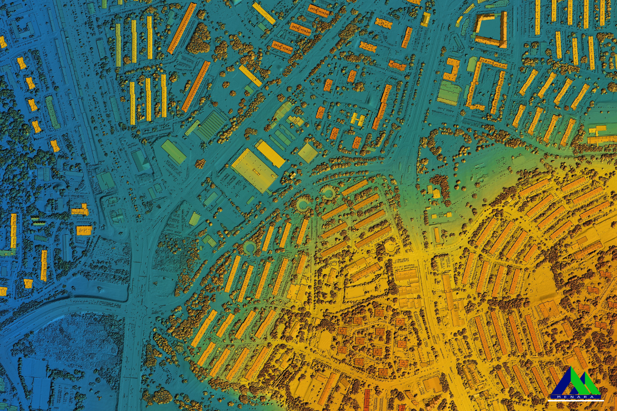
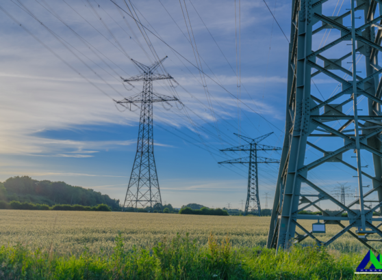
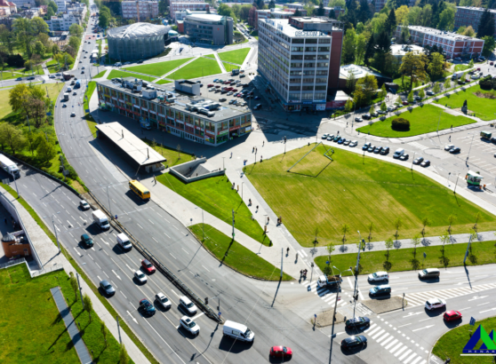
Geographic Information Systems (GIS) have become a cornerstone in the modern world, providing powerful tools for mapping, analyzing, and visualizing spatial data. In Brunei Darussalam, a small yet rapidly developing country in Southeast Asia, the application of GIS databases holds immense potential to drive innovation, enhance decision-making, and support sustainable development across various sectors.
Understanding GIS Databases
At its core, GIS is a technology that allows for the capturing, storing, analyzing, and presenting of data related to positions on Earth’s surface. A GIS database, therefore, is a structured collection of spatial data that can be queried and analyzed for various applications. This data can include everything from land use patterns, infrastructure, and natural resources to demographic information and environmental data.
Applications of GIS in Brunei
Brunei, with its unique geographical and socio-economic context, stands to benefit significantly from the adoption and integration of GIS databases in several key areas:
1. Urban Planning and Infrastructure Development
As Brunei continues to modernize, urban planning becomes increasingly crucial. GIS databases enable planners and developers to visualize current land use, infrastructure, and population distribution. This data can help in the strategic planning of new housing developments, roads, and public facilities, ensuring they are placed where they are most needed and least disruptive. Moreover, GIS can assist in the management of existing infrastructure by providing insights into maintenance needs, traffic patterns, and potential areas of congestion.
For instance, the development of new commercial hubs or residential areas can be optimized using GIS data to ensure that these developments are sustainable, accessible, and beneficial to the broader community.
2. Environmental Management and Conservation
Brunei is home to some of the most pristine rainforests and diverse ecosystems in Southeast Asia. Protecting these natural resources is paramount, and GIS databases play a critical role in environmental management. By mapping and monitoring land use changes, forest cover, and biodiversity, GIS helps policymakers and conservationists track the health of ecosystems over time.
Furthermore, GIS can be used to model and predict environmental impacts of various development projects, allowing for more informed decision-making. For example, before approving a new industrial project, GIS can be used to assess potential impacts on local water sources, wildlife habitats, and forest cover, ensuring that development is balanced with environmental stewardship.
3. Disaster Management and Risk Assessment
Brunei, like many countries, is susceptible to natural disasters such as floods and landslides. GIS databases can be invaluable in disaster management by providing real-time data and predictive modeling. By mapping flood-prone areas, identifying vulnerable communities, and analyzing historical disaster data, GIS can help in the creation of more effective disaster preparedness plans.
In the event of a disaster, GIS tools can be used for real-time tracking of the event, aiding in the coordination of emergency response efforts and resource allocation. Post-disaster, GIS can help assess damage and prioritize recovery efforts, ensuring that resources are directed where they are needed most.
4. Public Health and Social Services
GIS databases are increasingly being used in public health to track disease outbreaks, manage healthcare facilities, and analyze the distribution of health services. In Brunei, where healthcare is a priority, GIS can help in ensuring that health services are equitably distributed across the country.
For example, during the COVID-19 pandemic, GIS was used globally to track the spread of the virus, identify hotspots, and manage vaccination efforts. In Brunei, similar applications of GIS can help in managing public health crises, ensuring that vulnerable populations receive timely and effective care.
5. Economic Development and Resource Management
Brunei’s economy is heavily reliant on natural resources, particularly oil and gas. GIS databases can be instrumental in managing these resources more effectively. By mapping out resource deposits, analyzing extraction impacts, and planning logistics, GIS can help maximize the efficiency of resource management while minimizing environmental impacts.
Additionally, GIS can support economic diversification efforts by identifying potential areas for new industries, such as tourism or agriculture, based on spatial analysis of the country’s geography and infrastructure.
Furthermore, the adoption of GIS technology in Brunei can significantly contribute to the nation’s sustainability goals. By integrating GIS with renewable energy projects, such as solar and wind farms, planners can identify optimal locations for these installations, maximizing energy output while minimizing environmental impact. Additionally, GIS can assist in monitoring and managing water resources, ensuring that Brunei’s water supply is used efficiently and sustainably. As climate change continues to pose challenges, GIS can play a pivotal role in developing adaptive strategies, such as mapping areas vulnerable to rising sea levels and planning for coastal defenses.
Challenges and Future Prospects
To further enhance the application of GIS in Brunei, collaboration between government agencies, private sectors, and academic institutions is crucial. By fostering partnerships, Brunei can ensure the continuous updating of GIS databases with accurate and relevant data, which is essential for precise analysis and decision-making. Additionally, investing in local talent through training and education programs will build the technical expertise needed to fully leverage GIS technology. As more sectors recognize the value of GIS, there is potential for its integration into new areas, such as smart city initiatives and tourism management, driving innovation across the country.
Despite the immense potential of GIS databases in Brunei, there are challenges to their widespread adoption. These include the need for technical expertise, data availability, and integration of GIS into existing workflows. However, as technology continues to evolve and more data becomes available, these challenges are likely to diminish.
The future of GIS in Brunei is bright, with opportunities to enhance nearly every aspect of governance, development, and resource management. As Brunei continues to modernize, the integration of GIS databases will be crucial in ensuring sustainable and equitable growth.
Conclusion
In conclusion, the use of GIS databases in Brunei presents a transformative opportunity for the country. From urban planning and environmental conservation to disaster management and public health, GIS offers powerful tools to support informed decision-making and sustainable development. As Brunei navigates the challenges of modernization, the strategic use of GIS databases will be essential in building a prosperous and resilient future.

